
Destination planning guide with official National Park Service references.
Disclosure: This article is not sponsored. National Park Service photographs are individually credited.
Winter is a useful time to explore Death Valley’s lower elevations, but plan the route from the current road map before choosing the stops. Cooler days make walking more practical than in the summer heat. They do not remove the possibility of storms, closed roads, cold nights, or snow higher in the mountains.
The appeal is easy to see in the photographs: low light across dunes, folded badlands at Zabriskie Point, and fine salt formations in the basin. Give those landscapes time rather than trying to turn an enormous park into one continuous drive between famous names.
This guide helps you choose a manageable day or an overnight visit. It keeps the seasonal planning advice separate from access that can change after the next storm.
Why choose winter, and what the season changes
The park’s official weather overview describes winter as a season of cool days, chilly nights, and occasional rainstorms, with snow possible on the high peaks. Its hiking guidance identifies November through March as the best period for walking in the lower elevations.
That is a reason to consider winter, not a promise of mild weather everywhere. A comfortable afternoon near the valley floor does not tell you what a higher viewpoint or a campground will feel like after dark. Check the forecast for the actual places on your route.
Shorter daylight also changes the plan. An approach drive, a meal, and the return to your accommodation all use hours that cannot be spent at the overlooks. Decide which stop deserves the best light before adding more destinations.
Choose the trip length before choosing the photographs
For one day, make a short list of accessible stops around the part of the park you can realistically reach. For an overnight stay, compare where you will sleep with the place you want to see early or late. A sunrise plan is much easier to assess once the actual morning drive is on the map.
Use the official maps and the route from your accommodation. If you are adding Death Valley to a Las Vegas or Eastern Sierra trip, count the approach and return as part of the day. A park boundary is not the same as the viewpoint you came to see.
An overnight stay can give the visit more room, but it also requires a real lodging or camping plan. Check lodging options or campground information for the named location. Do not infer availability, facilities, or reservation arrangements from an attractive campsite photograph.
Make the conditions map the first stop
Open the park’s live conditions page before leaving and check again close to arrival. It distinguishes road closures, cautions, facility changes, and other alerts. A sightseeing page can describe a destination accurately while the route to it is temporarily closed.
Flood damage is a practical concern even during the cooler season. Follow posted closures and current restrictions. Do not use a navigation app’s suggested detour as evidence that a damaged road is suitable or open to your vehicle.
Separate a paved-road sightseeing day from a backcountry driving trip. Some park roads have vehicle restrictions or require clearance that a normal rental car may not provide. The right alternative to a closed stop may be another viewpoint, rather than an unfamiliar dirt road.
Zabriskie Point: give the badlands their own time
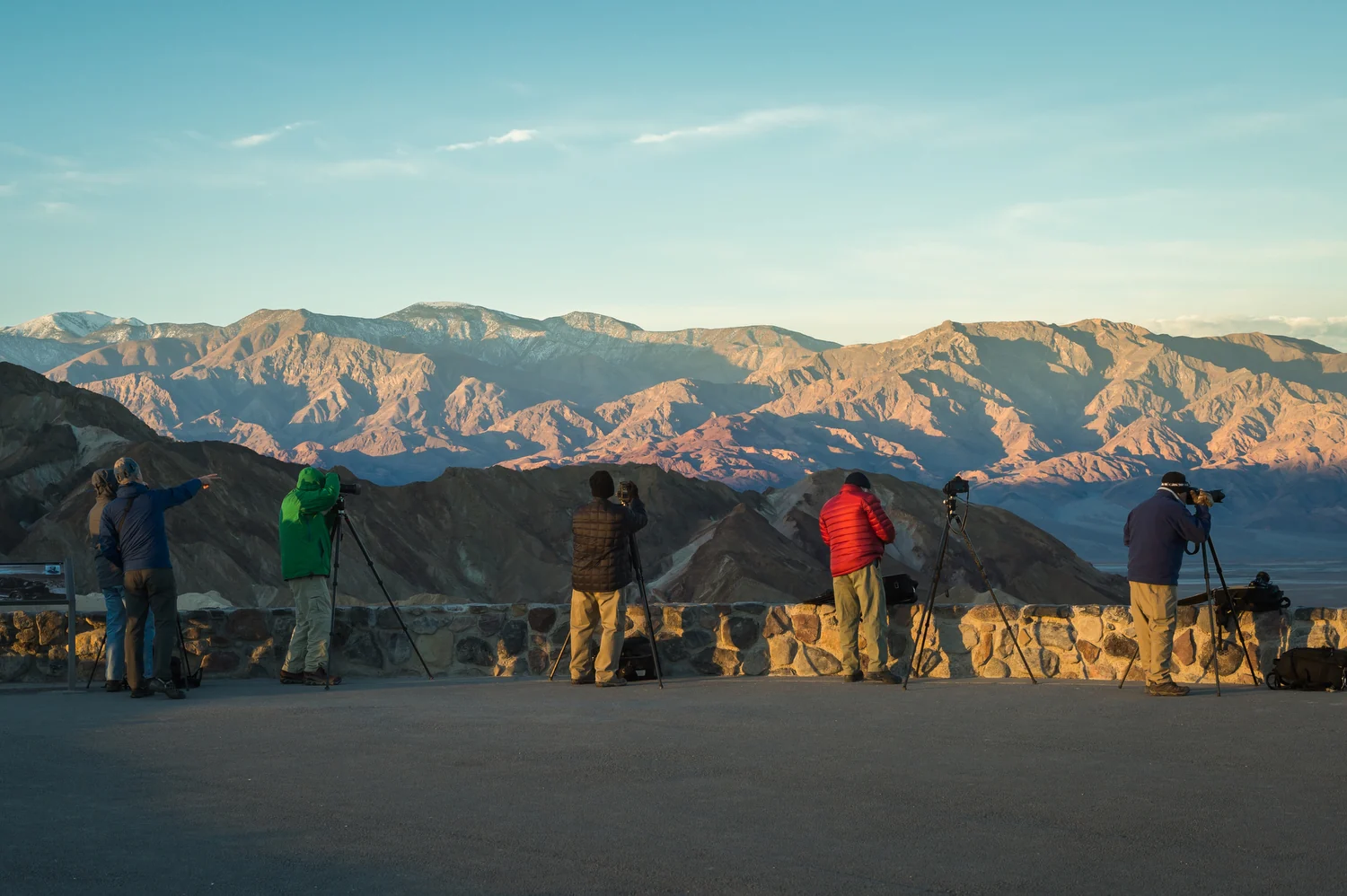
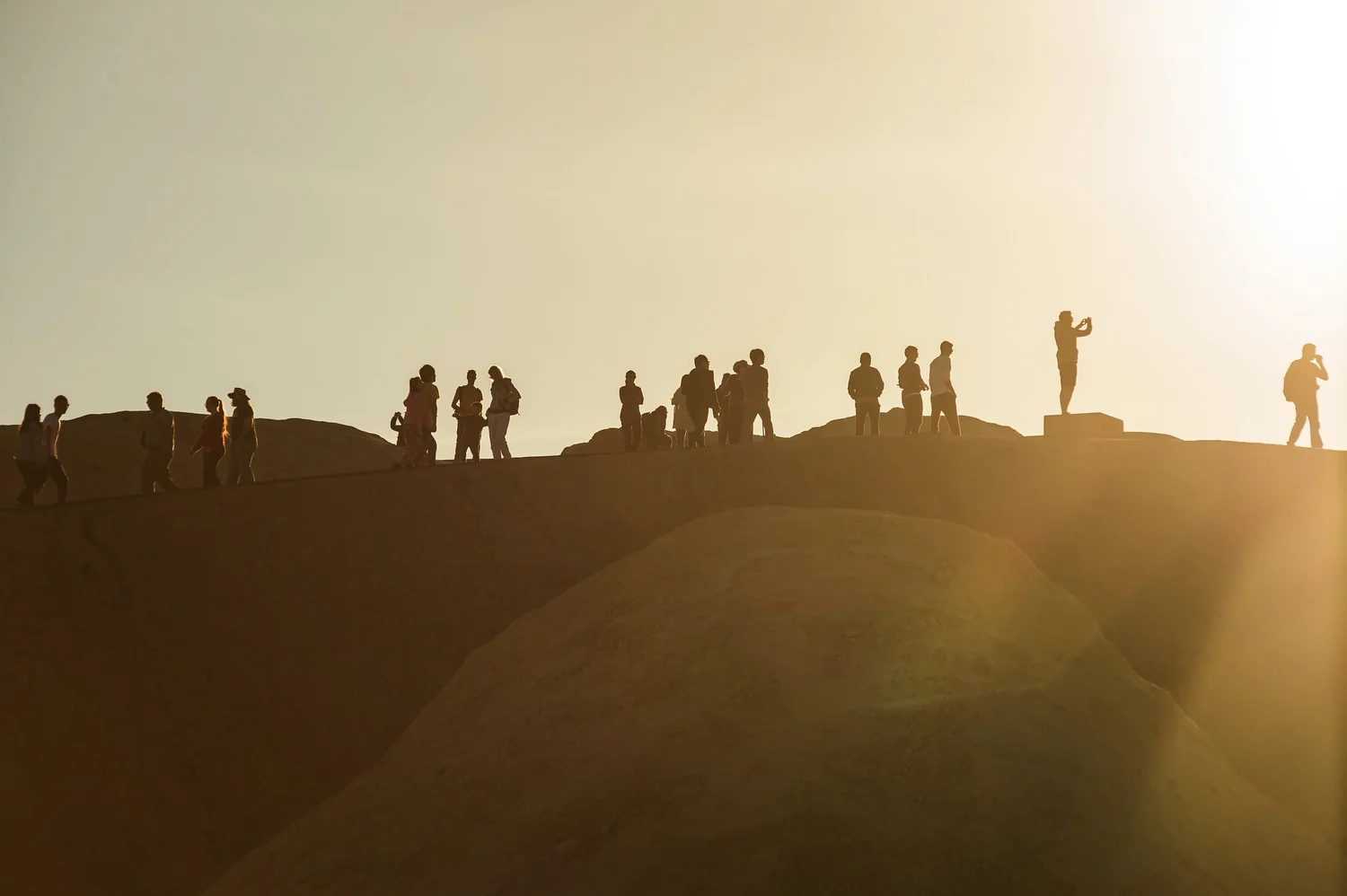
The official sightseeing guide includes Zabriskie Point among the main park highlights. The overlook brings the badlands into one view, making it a useful choice when you want a strong landscape stop without building the day around a long hike.
Look at the ridges and the shadows rather than only the horizon. Low light changes which folds stand out. There is no need to promise a particular color or a clear sunset; the weather and your arrival time will decide what you see.
If the light is the priority, protect that time in the route. Check the current access and the path from the parking area for your group. Leave a margin for getting settled rather than arriving at the last possible moment and rushing the approach.
Badwater Basin: look closely at the salt
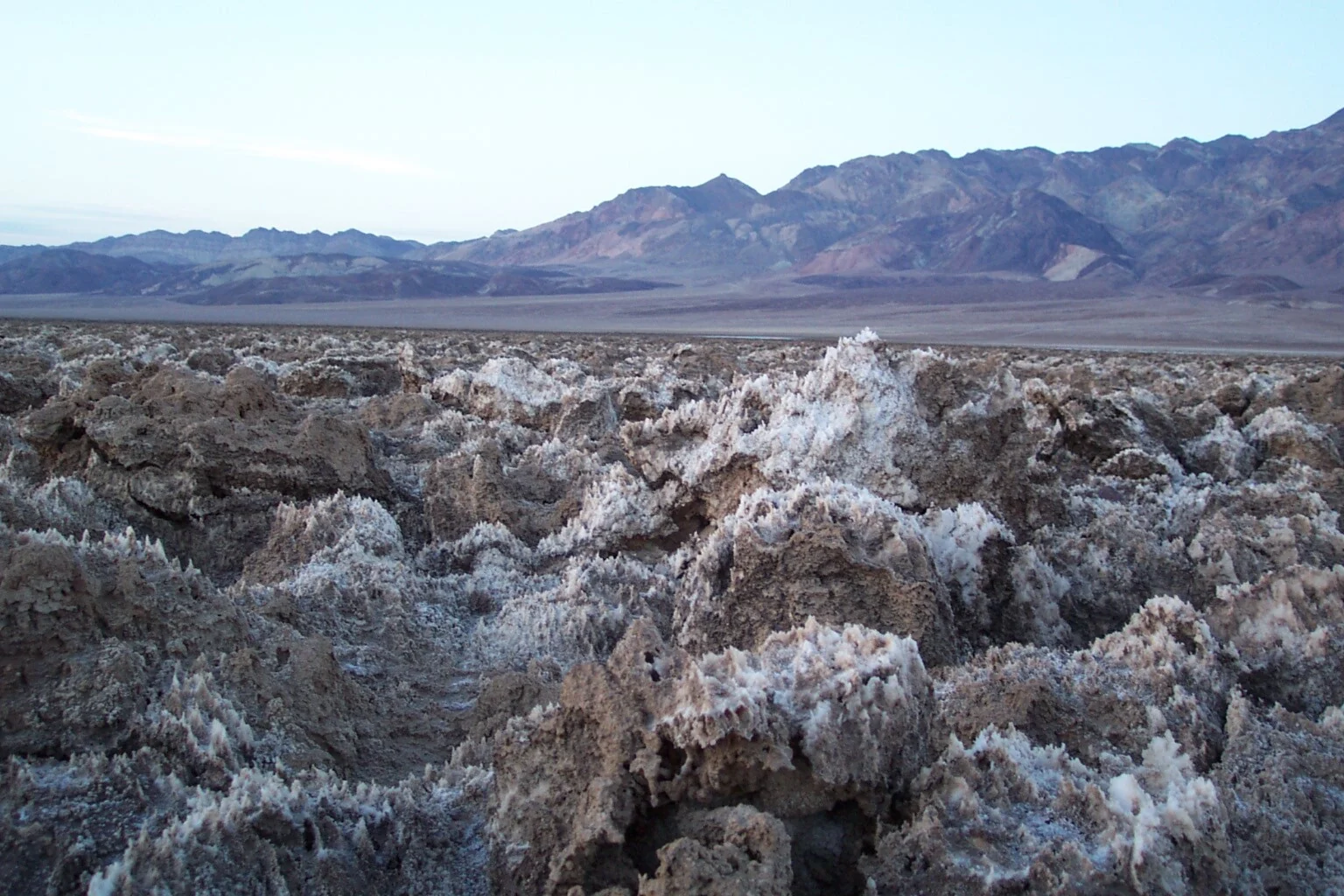
Badwater Basin is known for its extensive salt flats and low elevation. The park describes the basin as the lowest point in North America. Depending on conditions, the appearance can range from salt surfaces to temporary standing water after storms.
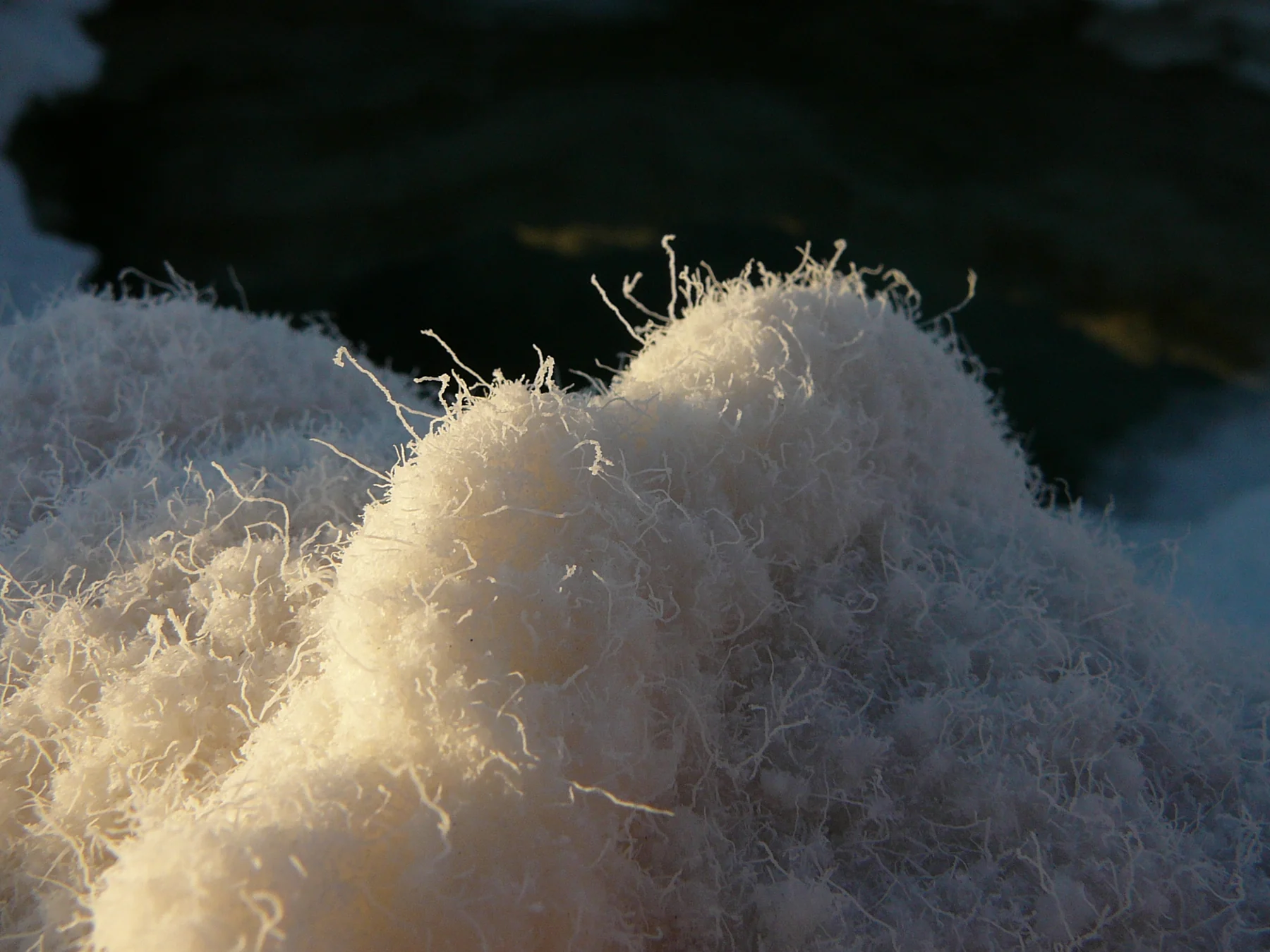
The small-scale patterns deserve attention as much as the broad view. The NPS description accompanying the salt-detail photograph explains that evaporation and capillary action form fine salt filaments. Looking closely changes the subject from an apparently blank white surface to a landscape of texture.
Follow current access guidance and the signs at the site. Do not plan on walking the same route shown in an old photograph if water or damage has changed the ground. The park prohibits launching or recovering watercraft, including kayaks and paddleboards; a temporary lake is not a boating invitation.
Mesquite Flat Sand Dunes: choose the amount of walking
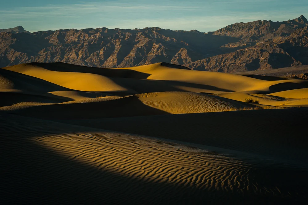
Mesquite Flat Sand Dunes offers another kind of landscape, with sand patterns and distant mountains rather than the badlands or salt flats. Decide whether you want a short look or a longer walk before treating the dunes as a quick stop between drives.
Walking in sand changes the effort required, even when the distance on the map seems modest. Choose a turnaround that fits your party, the weather, and the daylight remaining. The most useful plan does not depend on reaching the tallest dune.
The park’s hiking guidance still calls for adequate water in winter. Pack it before starting, along with layers and the supplies appropriate to the route. A cooler forecast is not a reason to assume that water or other services will appear along the way.
Build a route that can lose a stop without losing the day
Use the open roads to connect a small number of different landscapes. A badlands viewpoint, a salt-flat stop, and a dune visit create variety when the approach drives and current access allow them. They are options to compare, not a guaranteed one-day checklist.
Leave a longer walk or a more distant viewpoint as optional. If parking, weather, or a road closure changes the plan, spend more time at an accessible stop you wanted anyway. That is usually a more useful response than replacing the missing destination with a longer drive.
For sunrise or sunset planning, consult the park’s viewpoint suggestions and check the actual light times for your date. Keep the return route and the driver’s comfort with dark roads in the decision.
What to organize before entering the park
Sort out fuel, water, food, navigation, and the night’s accommodation before relying on a long stretch of park driving. The basic-information page describes limited cellphone access. Save the map and relevant instructions for offline use rather than assuming mobile service will cover every decision.
Read the current fees and pass conditions for your party. Keep that separate from lodging, camping, food, and transport costs. Avoid building the budget around a price copied from a different travel year.
Pack for the cold part of the visit as well as the pleasant part: layers for a dawn or evening stop, suitable footwear, and the walking supplies your route needs. For high-elevation or remote travel, use the specific park guidance rather than extending a valley-floor sightseeing plan into a different kind of trip.
The final check before you leave
Confirm the open approach route, the roads to the chosen stops, the forecast, and your accommodation. Choose the first priority and one easy alternative. Make sure the group knows where you will turn back from a walk or shorten the drive.
Death Valley in winter works well when the day has room for the light and the landscape to be the point. A few open, well-chosen stops are enough. Let the conditions decide which version of the park you can explore on that visit.
Accurate as of October 2026. Check the linked National Park Service pages for current access, conditions, fees, and operating arrangements before traveling.
Featured photograph: NPS / Kurt Moses
Found an error or an outdated detail? Send a correction for this article.